
ファイル:British Isles Isle of Man.svg

この SVG ファイルのこの PNG プレビューのサイズ: 343 × 600 ピクセル. その他の解像度: 137 × 240 ピクセル | 274 × 480 ピクセル | 439 × 768 ピクセル | 586 × 1,024 ピクセル | 1,171 × 2,048 ピクセル | 675 × 1,180 ピクセル。
元のファイル (SVG ファイル、675 × 1,180 ピクセル、ファイルサイズ: 137キロバイト)
ファイルの履歴
過去の版のファイルを表示するには、その版の日時をクリックしてください。
| 日付と時刻 | サムネイル | 寸法 | 利用者 | コメント | |
|---|---|---|---|---|---|
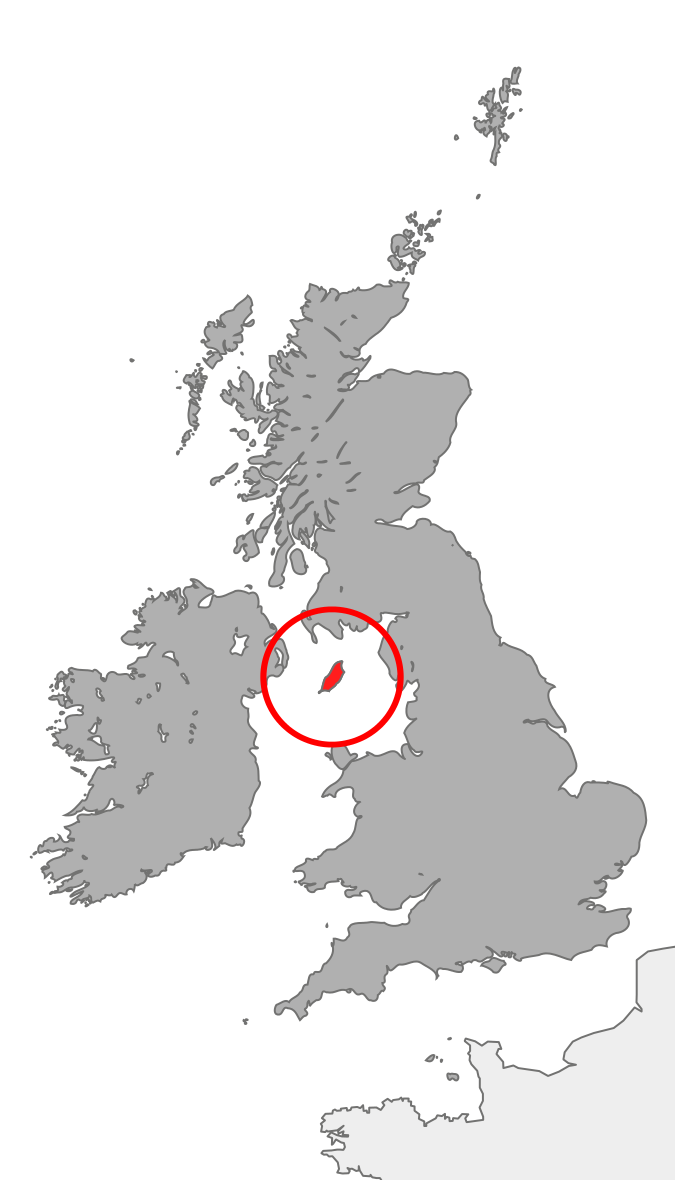
| 現在の版 | 2007年10月20日 (土) 21:37 | | 675 × 1,180 (137キロバイト) | Cnbrb | == Summary == {{Information |Description=map showing the Isle of Man in relation to Great Britain and Ireland |Source=self-made |Date=2007-20-09 |Author= Cnbrb }} Category:Locator maps of countries of the United Kingdom [[Category:Maps |
リンク
この画像にリンクしているページの一覧:
グローバルなファイル使用状況
以下に挙げる他のウィキがこの画像を使っています:
- anp.wikipedia.org での使用状況
- br.wikipedia.org での使用状況
- bs.wikipedia.org での使用状況
- cs.wikipedia.org での使用状況
- de.wikipedia.org での使用状況
- en.wikipedia.org での使用状況
- en.wiktionary.org での使用状況
- es.wikipedia.org での使用状況
- fi.wikipedia.org での使用状況
- fr.wiktionary.org での使用状況
- gv.wikipedia.org での使用状況
- hi.wikipedia.org での使用状況
- hu.wikipedia.org での使用状況
- id.wikipedia.org での使用状況
- incubator.wikimedia.org での使用状況
- it.wikipedia.org での使用状況
- ja.wikipedia.org での使用状況
- ka.wikipedia.org での使用状況
- mk.wikipedia.org での使用状況
- nds-nl.wikipedia.org での使用状況
- pl.wiktionary.org での使用状況
- ro.wikipedia.org での使用状況
- ru.wikipedia.org での使用状況
- sl.wikipedia.org での使用状況
- ta.wikipedia.org での使用状況
- tl.wikipedia.org での使用状況
- tr.wikipedia.org での使用状況
- uk.wikipedia.org での使用状況
- vls.wikipedia.org での使用状況
- xmf.wikipedia.org での使用状況
- zh.wikipedia.org での使用状況